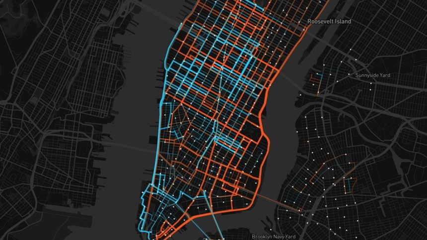
Mapping platforms are tools that let users create, visualize, and interact with maps. These platforms are used for a wide range of applications, including geographic information systems, navigation, urban planning, etc.
Examples of mapping platforms
One example is Mapbox, which provides tools and services for integrating customizable maps and geospatial data into applications. Its web-based interface allows users to generate custom maps. Users can design maps that fit their needs, choosing colors, layers, and data sources.
There is also a JavaScript library for interactive, high-performance map rendering. It allows developers to integrate maps with custom data visualizations into web applications.
Mapbox provides real-time traffic data and incident reports and access to high-resolution satellite and aerial imagery for use in maps and applications. It is popular among developers, who use it to create location-based services in mobile and web apps, but for non-technical users, it’s a different story. Mapbox alternatives include Google Maps, OpenStreetMap, Leaflet, Maptive, etc.
Google Maps
Google Maps is the leading mapping tool, with over a billion active users monthly. In May 2023, its website had around 196.8 million visits. It provides extensive mapping, geocoding, and navigation services, including Street View, real-time traffic, and Places API.
Google Maps is known for its user-friendly interface, comprehensive documentation, and easy integration with various platforms.
Leaflet
Leaflet features an open-source JavaScript library for interactive maps. Its high customization makes it ideal for embedding maps into websites.
Leaflet works well with OpenStreetMap and other tile providers. It’s far less prevalent than Google Maps, with 614,670 live websites using it in 2024. Historically, another 542,176 sites have used it.
OpenStreetMap
OSM is a collaborative project that offers free, editable maps. It is highly customizable through various tools and libraries, like Leaflet.
OSM is free to use, and users can contribute and edit maps. As of March 2024, it had 10.5 million registered users and 9.1 billion nodes. In the fourth quarter of 2021, around four million map changes were made daily.
Maptive
This Mapbox alternative is a cloud-based mapping software that allows users to create, customize, and share interactive maps. It is very user-friendly and accessible to non-technical users who need to visualize and analyze geographic data.
Users can easily import data from Excel, Google Sheets, CSV files, etc. Maptive offers a range of customization options, allowing users to change map styles, colors, markers, and more to fit their specific needs.
The platform includes heat maps, cluster maps, and territory maps, among other visualization tools. Based on data attributes, you can create thematic maps.
Choosing the best mapping platform for your needs
Comprehensive mapping platforms showcase business data like stores, branches, or outlets on a map using heatmaps, point data, polygon, etc. Non-technical users should look for a tool that adds several data layers from multiple sources to show geospatial data on a map. This way, they can derive contextual analysis from all data layers for a comprehensive spatial view.
A mapping platform can analyze customer behavior to reveal the best location for a new store or warehouse, which can help with business expansion. The process often starts online, as 87% of shoppers now start their product search on the internet.
By using location intelligence, companies can automate scheduling and routing to optimize field sales operations. This improves field efficiency with reduced travel time. Sales visits don’t overlap.
Final thoughts
Mapping tools enable companies to optimize resources, make data-driven decisions, and gain a competitive advantage through consistency across channels. Up to 80% of consumers expect consistency across the channels they use to engage with a brand.
Select a comprehensive mapping platform that aligns with your business goals. The best choice will empower you to visualize and strategize spatial data and drive your bottom line.
Lynn Martelli is an editor at Readability. She received her MFA in Creative Writing from Antioch University and has worked as an editor for over 10 years. Lynn has edited a wide variety of books, including fiction, non-fiction, memoirs, and more. In her free time, Lynn enjoys reading, writing, and spending time with her family and friends.


