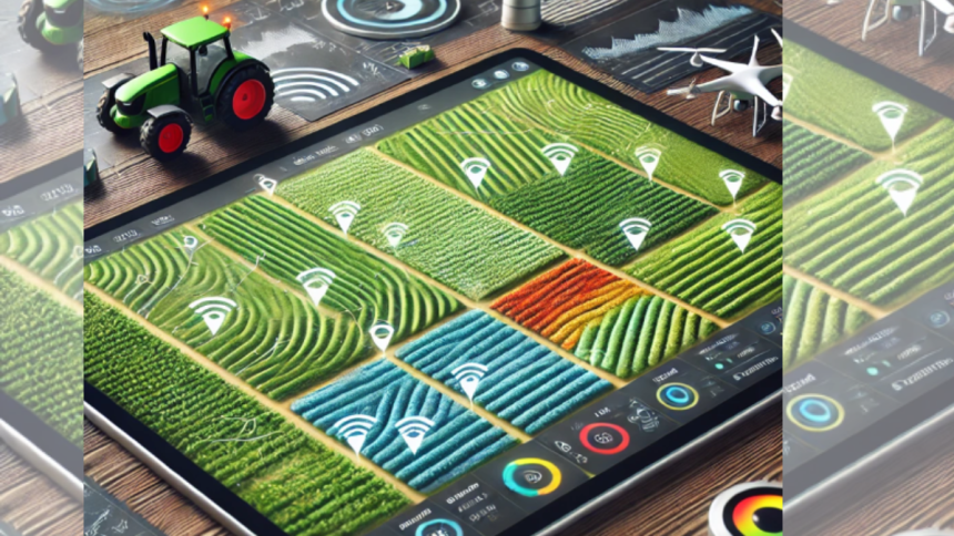
Field mapping is the process of creating digital maps of agricultural land using GPS and satellite data. The maps contain information about field boundaries, relief, soil types, moisture levels, vegetation density. Data allows farmers to make founded decisions, optimize resource using, improve the efficiency of agricultural work.
Field mapping: key benefits for farmers
Field mapping helps farmers not only better to understand the structure of their land, but also optimize every stage of work. With the help of digital maps, you can significantly increase crop yields, reduce costs for fertilizers and water, and minimize human errors in field processing. The main benefits of mapping in agriculture are:
- saving time on record keeping. Farmers can automatically record data on sowing, fertilization, soil cultivation. This eliminates paper registers and manual data entry, speeding up data analysis and increasing the accuracy of accounting;
- optimization of water and fertilizer use. Mapping helps farmers to allocate resources more accurately by identifying areas with different water and nutrient needs. This helps to avoid over-irrigation or over-fertilization, reducing costs and minimizing harm to the environment. As a result, agricultural work becomes more profitable and environmentally friendly;
- increasing crop yields by adapting agricultural technologies. Accurate maps allow you to analyze the composition of the soil and select crops which are better suited for each area. This helps to increase crop yields, since plants receive the necessary conditions for growth. Based on mapping data, farmers can also optimize crop rotation, which has a positive effect on soil fertility;
- reducing fuel and equipment costs. The use of GPS navigation and mapping helps to optimize agricultural machinery routes. This reduces the mileage of tractors and combines, reduces fuel consumption and reduces equipment depreciation;
- detection of problem areas at early stages. Mapping helps to identify quickly problem areas in the field, for example, areas with excess or lack of moisture, erosion zones or foci of plant diseases;
- improved planning and forecasting. Systematized field data allows farmers to plan better agricultural work, take into account weather conditions and analyze the effectiveness of past seasons. This helps to predict crop yields, adjust soil cultivation strategies and build more rational distribution of resources.
Accurate maps help to minimize the impact on the environment by reducing the use of chemicals and water. Optimized fertilization reduces soil pollution and accurate crop planning reduces the load on the ecosystem.
FieldBee tractor GPS App — the key to effective farm management
FieldBee tractor GPS App provides farmers with powerful tools for precise field mapping, making farm management much easier. It allows you to import field maps in .SHP format, download cadastral documents and even manually draw field boundaries using Google Maps. All data received from the FieldBee RTK receiver is automatically compiled into easy-to-use digital maps, eliminating the need for farmers to keep manual records.
The application records all operations performed, including sowing, tillage and fertilization, storing the data for subsequent analysis. In addition, GPS helps to navigate tractors even at night, and also allows to work with different traffic patterns, increasing the accuracy and efficiency of agricultural tasks.
Lynn Martelli is an editor at Readability. She received her MFA in Creative Writing from Antioch University and has worked as an editor for over 10 years. Lynn has edited a wide variety of books, including fiction, non-fiction, memoirs, and more. In her free time, Lynn enjoys reading, writing, and spending time with her family and friends.


![[Hand-Picked] 6 Best Proxy Browsers for Anonymous Experience](https://www.readability.com/wp-content/uploads/2025/04/Hand-Picked-6-Best-Proxy-Browsers-for-Anonymous-Experience-150x150.png)
